|
|


flickr |

|
|
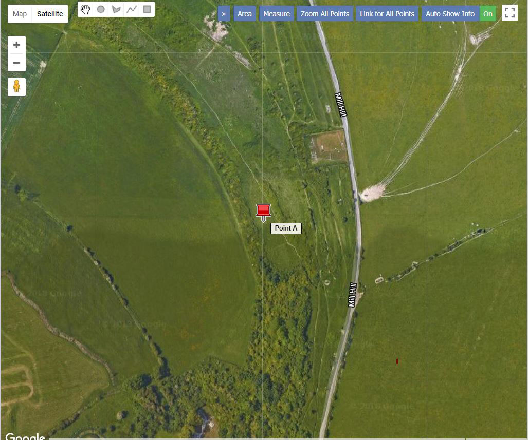
Plan of Mill Hill and the adjacent areas Lower
Slopes of the Downs near Mill Hill
|
|
|
Click on the map for a larger image and key to the symbols 6 = Mill Hill |
 |
Mill Hill
|
|
This
fame was created by the huge numbers and aberrations of the Chalkhill
Blue Butterflies. The fame started from about
1820 when butterfly collecting became the vogue. During the heyday of butterfly
collecting between the two World Wars, the site was kept a secret by commercial
collectors. In 1938
the area of Mill Hill
and other downland was presented to the people of Shoreham, some 724 acres,
although less than 28* acres remain as public open land. It was rediscovered
in 1955. (*may be 30 acres)
Despite the large number of collectors, they did not cause the decline of butterflies on Mill Hill but the demise of the rabbit through myxomatosis and the invasion of scrub through the absence of the rabbit. This disease arrived in 1954, but in the cold winter of 1963, the hill was still almost devoid of scrub. The main invasion of woodland and scrub occurred from the mid-1960s. In
the 1950s (before my time) the area was fenced off and the upper slopes
were grazed with cattle. The area was grazed right down and only Ragwort
remained (like the fields adjoining nowadays). This seemed to have encouraged
Hawthorn scrub, Dogwood and Creeping Thistles which remain today. The reports
from butterfly collectors said that all the Horseshoe Vetch and wild flowers
had been lost from the upper slopes. This remains the case in 2003, although
there are now large swathes of longer grass and Scabious, Greater Knapweed,
etc. The lower steeper slopes were fenced off and this is still a continuous
mat of Horseshoe Vetch with incursions of Wild Privet. |
In
1990, cattle were again introduced to the upper slopes for a short period.
The area looks very much like a lowland cattle pasture ten years later.
Although the upper slopes now support large populations of many hundreds
of Common Blues
and Marbled Whites
in the longer grasses, this seems to be at the expense of Chalkhill Blues.
Erosion has been caused by hang-gliders and other human activities, but
it appears that is not as great as the damage caused by cattle.
In
2003, my summer survey revealed that Horseshoe Vetch was still abundant
on the lower slopes covering only about five acres, but that the same species
on the middle and upper slopes is very small in area and does not support
Chalkhill Blue Butterflies. Scrub incursions are very serious and a woodland
has developed where there used to be bare hill. However, in the main breeding
area on the lower slopes is still maintained although the scrub is making
serious incursions, led by Wild Privet.
The numbers of Chalkhill Blues seen on one day was 3000*, which roughly
corresponded to previous years, but this represents about one half of the
number for 1960. The only major management change in this time has been
cattle grazing.
Altogether at least 30 species of butterflies have been positively been identified by myself in the last three years, and I expect this total to increase. In season the Chalkhill Blue still remains the most prevalent butterfly, with small population of Adonis Blues and Dingy Skippers, mostly on the lower short ward (20 mm to 35 mm) herbland. Large numbers of Common Blues and Marbled Whites are to be found on the upper slopes and these will most likely to be seen by casual visitors, although the dispersals of Chalkhill Blues will venture over the whole area in the search for nectar plants. Mill Hill is now managed by the South Downs Conservation Board, who have taken over from the West Sussex County Council. A Revised History of the Butterflies and Moths of Sussex Colin
R Pratt
Link: Chronological History The
meadow to the west of Mill Hill is now 15 acres.
|

 |
A
Nature
Reserve is defined in Section 15 of
the National Parks and Access to the Countryside Act 1949,
as land managed for the purpose:
(a) of providing, under suitable conditions and control, special opportunities for the study of, and research into, matters relating to the flora and fauna of Great Britain and the physical conditions in which they live, and for the study of geological and physiographical features of special interest in the area; or (b) of preserving flora, fauna, or geological or physiographical features of special interest in the area; or for both these purposes.’ |

 |
 |
 |


 There
is a report of a recovery after the cattle were removed and by 1960 there
is an authentic report of 6000 Chalkhill Blue Butterflies seen on one day.
In 1967 grazing was banned and this resulted by 1971 in a sudden growth
of the long grasses, which are now forage harvested in late autumn. Volunteers
than helped with scrub clearance but no lasting impression was made on
the problem. In the late seventies, I still observed hundreds of Chalkhill
Blue butterflies that had descended to the Waterworks Road where the grass
was mown, but this area has been neglected and is now covered in nettles.
