 Coronation
Green (TQ
215049) Post Code BN43
5EE
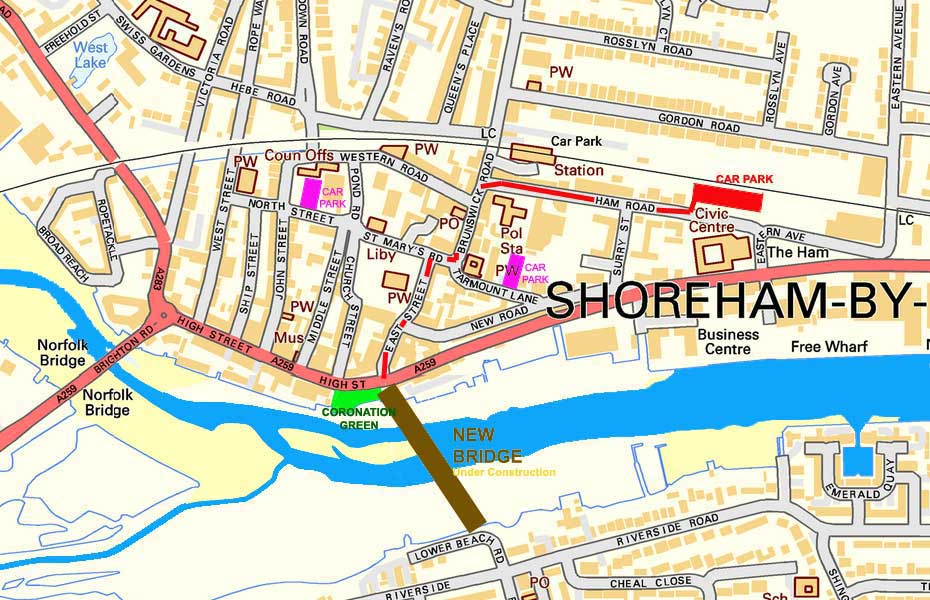
Coronation Green, adjacent to the Adur Ferry Bridge from Shoreham High Street to the beach, is 10 minutes walk due south from Shoreham-by-Sea railway station. Buses (700, 702) from Brighton and Worthing stop at the High Street. Other local buses (2) stop outside including buses from Steyning. There are limited cycle parking spaces.
Location
: (OSGB36)
Easting
= 521563
Northing
= 104971
Grid Ref = TQ215049
Latitude
= 50°49'51.37"N
Longitude
= 0°16'25.05"W
Latitude
= 50°49.8561'"N
Longitude
= 0°16.4175'"W
Latitude
= 50.830935
Longitude
= -0.273625
Postcode = BN43 5EE
Public
Transport (Shoreham)
Street
Map
MultiMap
Magic
Map
Magic
Map (close-up)
 |
 |
 |
6
December 2013
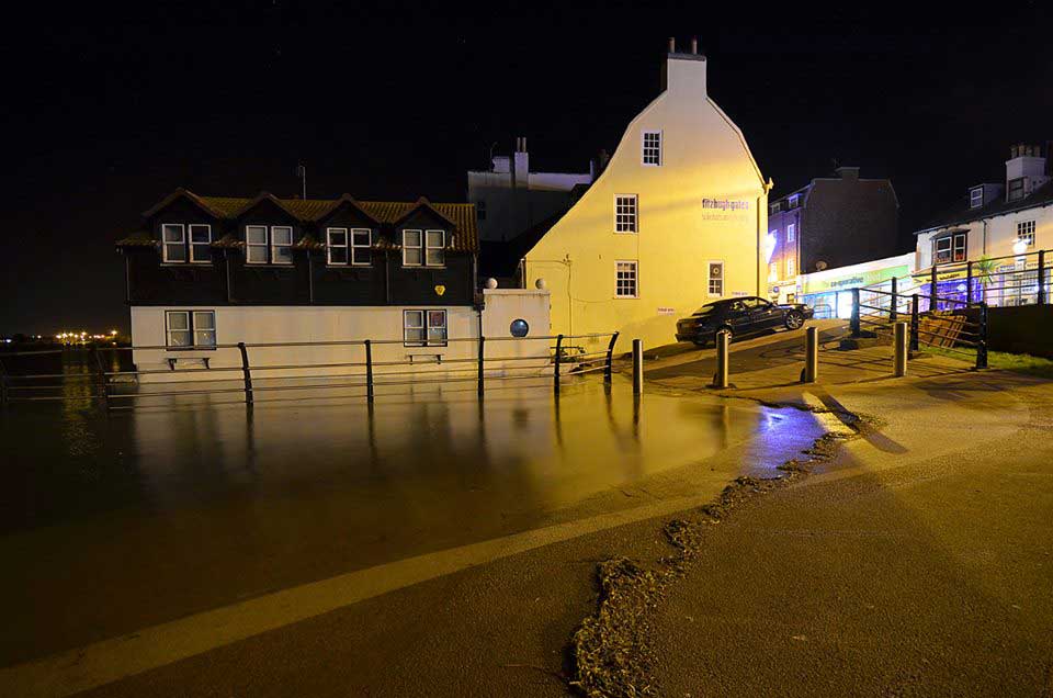
Coronation Green in flood just after midnight. Photograph by Mark Bond on facebook Click on the image for the flood gallery of photographs. |


