 |
|
|
| Chalk Downs |
| Coastal Fringe |
| Intertidal (Seashore) |
| River Adur Estuary |
| River Adur |
| Sea (off Sussex) |
| Southwick Hill |
| Town & Gardens |
| Widewater Lagoon |
|
Southwick
|
Southwick
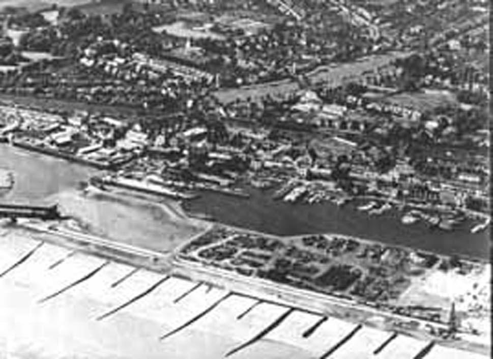
just after World War II
The
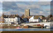
Locks & Canal Section of Shoreham Harbour in the foreground

Information about the town has hardly started. Try again in year 2003. Sorry. The development of a Southwick web page is the prerogative of Southwick residents. If you have a page, please advise and I can put in a link from this page.
The photograph above is dated about 1948.
Sudewic 1073 Suwic 1231
Toponymy
The south is harder to explain
than wic which is Roman for a farm, and certainly much
more than this, the trading centre (road to London), market centre, and
centre of the agricultural estate.
Fiskergate 1188 (now part of Southwick)

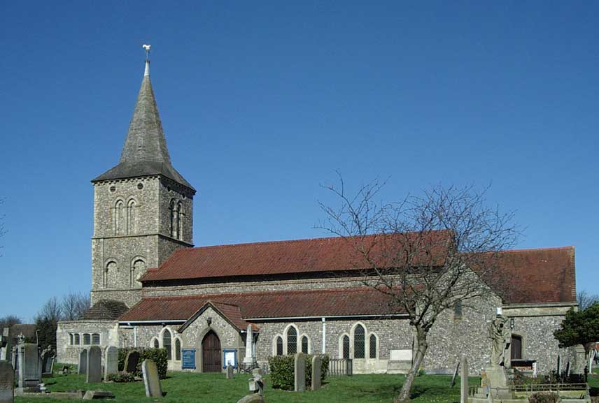
St.
Michael's Church
Southwick
The church dates backed to Saxon times, but the slate roof is post World War II as a German bomb went through the roof (the church is near Shoreham harbour).
During Roman times Southwick (Sudewic) was the most important place in the region until superseded by Lancing when the Saxons arrived and finally superseded by Shoreham after the Norman conquest. Brighton did not emerge as the premier town in Sussex until the 18th century.
Albion Street
(Shoreham)
Brighton 'B' Power Station (Southwick)
Prehistory
Memories
of Southwick
Map
of Southwick
|
|
|
|
|
